Hiking around Lisse
Discover the trails around Lisse
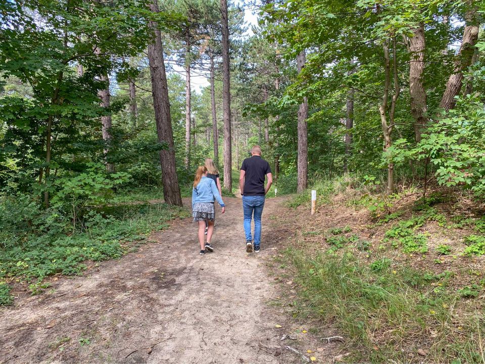
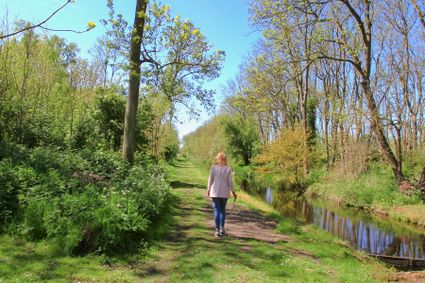
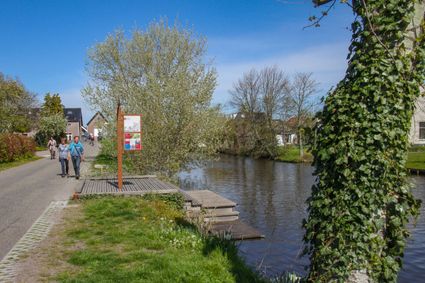
Walking is the perfect way to explore Lisse and the Duin en Bollenstreek region. The Bollenstreek walking network guides you through scenic routes filled with colorful flower fields, green meadows, and charming villages. Thanks to the convenient junction system, you can easily create your own route. Clear maps and information panels are available at various starting points. Along the way, signposts lead you from one junction to another. The network offers around 100 kilometers of well-marked walking trails. Routes follow paved paths as well as rural tracks across fields. Adventurous towing bridges provide the crossing in a number of places.
-
Gnomes and Castles
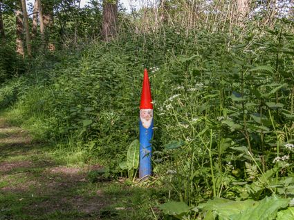
Would you like to go for a walk in the woods? The Keukenhof woods, a varied and hilly woodland with beech, oak and coniferous trees, are accessible via the hiking junctions. From the woods you can walk straight to the estate of Keukenhof Castle. For the little visitors, there is a fun gnome walk.
-
Flower Walk Lisse
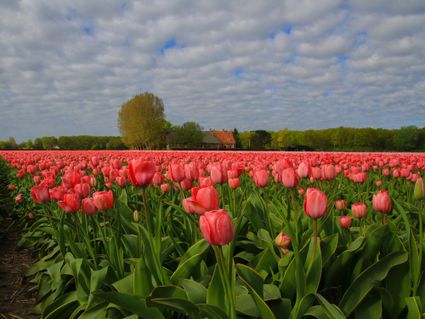
The Flower Walk takes you, for the most part on paved paths, past the blossoming bulb fields, the Keukenhof wood and the Keukenhof Manor. In spring, the fields are full of daffodils, hyacinths and tulips.
-
Walking in the Lisser Poel
The Lisser Poelpolder is one of the oldest reclaimed land areas in the Netherlands; around 1624, the last drops of water were pumped out of the polder and the island Rooversbroek became mainland. The footpaths in this area are partly paved, partly unpaved.
-
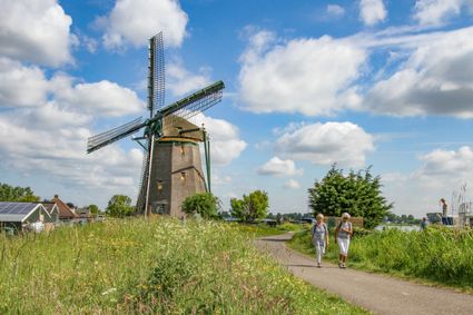
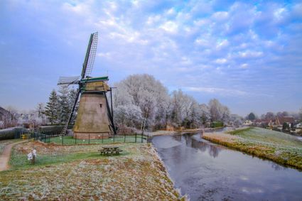
Castles and Villas
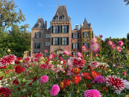
Castles, beautiful country estates and centuries-old manors with coach houses reveal an impressive history. The Bulb Region was popular with the nobility and wealthy townspeople as a summer residence outside the city.
-
Welly Boot Trail
A fun and adventurous walk across the meadows and woods around the Keukenhof estate. Stroll through this area, climb over fences and discover the most beautiful spots of the estate, but don't forget to put on your boots beforehand!
-
The Northern Bulb Route
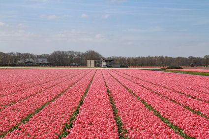
The Northern Bulb Route is part of the Bollenstreek (bulb-growing region) walking network, the best way to discover this beautiful region! The route largely follows paved paths, but also passes meadows and bulb fields. In spring, the fields form a beautiful patchwork quilt
NEW: The Lisse Circular Walk
The Lisse Circular Walk consists of three walking routes through different parts of Lisse. The pink route is 3 kilometres long, the green route is 5.5 kilometres long and the purple route is 13 kilometres long.
You can follow the walking routes by following the signs with coloured arrows along the road. The colours of the arrows are the same as the walking routes. So, if you are walking the purple route, follow the purple arrow. In some places, the routes overlap and you will encounter arrows with two colours. The arrow points in the direction you need to walk.
Along the way, you will encounter all kinds of things: colourful tulip fields, the Keukenhof, green parks, the Ringvaart canal and various meeting places. Take a break in the rest garden at Rustoord (with free toilet facilities), fill your bottle at a water tap, or stop at a sports field, community centre or library.
When will you walk your first lap?
Check the 3 routes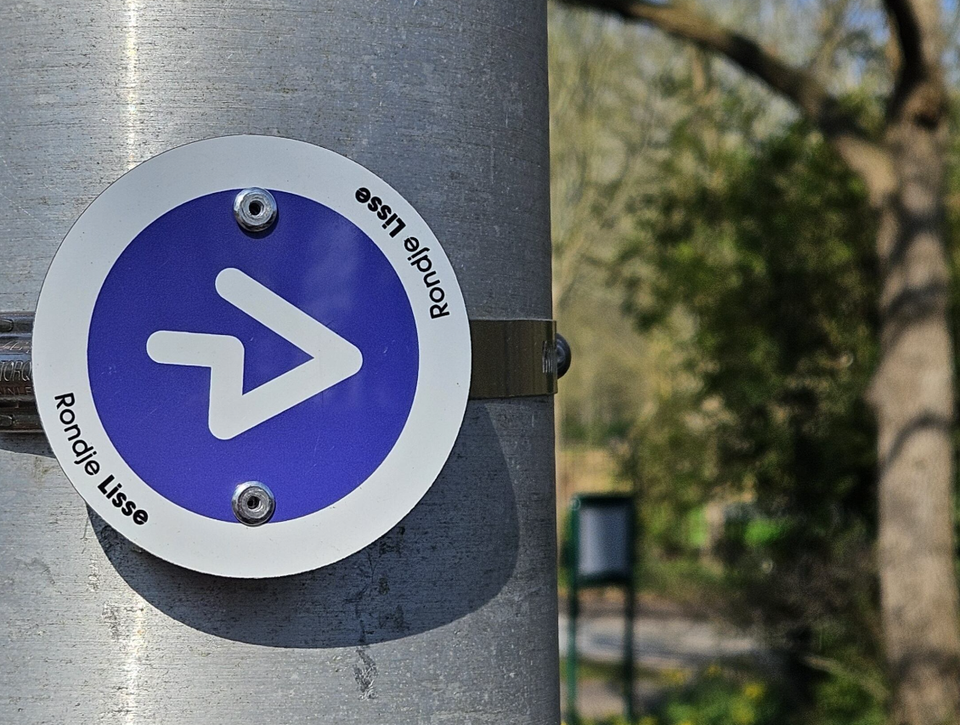
-
Footsteps along the Trekvaart
This walk takes you along the "Trekvaart", also called Leidsevaart or Haarlemmertrekvaart, between Lisse and Hillegom. Via the centre of Hillegom you walk past bulb land, Keukenhof castle and the former Lisse railway station back to your starting point.
-
Around Lisse
Ommetje Lisse takes you along the Ringvaart of the Haarlemmermeer, the Greveling and the Ringsloot. This walk links up with the existing Ommetje Poelpolder, which you can also take if you wish.
-
From the Bulbs to the Dunes
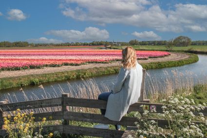
The area around Lisse and Noordwijkerhout is known for its many bulb fields. In spring, you can enjoy the view of vast fields of flowers in all colours, but this route is also worthwhile the rest of the year